
Follow a Woodlawn Street Directory Trail
Fairfax County records are especially useful when a search begins with one confirmed address rather than a guessed name. Woodlawn is a Fairfax County census-designated place, even where the postal line says Alexandria, so the county’s property and court systems are the relevant starting points. Treat the street name as a way to locate records, not as proof that every listed owner or contact lives there. The following path preserves that distinction while taking a current parcel lead backward into title and historical address evidence.
- Search the address in Fairfax iCare and save the parcel, property location, owner, mailing address, and legal-description fields.
- Use Fairfax GIS, JADE, and MAR to normalize the street and inspect the parcel’s map setting.
- Follow the owner of record into the grantor-grantee index, retaining the deed date and the book, page, or instrument reference.
- For a voter record, use Virginia’s status portal only for the voter or an expressly authorized user; public registrar lists have narrower statutory access.
- Check reverse or criss-cross volumes at the Virginia Room for a dated street listing, then compare it with the parcel and title trail.
The sequence does not convert a property record into an occupancy claim. It creates a dated chain of separate records that can be checked again when a name, unit, or road label changes.
Search Woodlawn Streets in iCare
The iCare Property Location search is the current parcel entry point for a Woodlawn street directory search. Enter a number, unit when known, and street name. The suffix is optional, and leaving it blank can improve a match. An asterisk in the street field supports a partial or whole-street search. iCare also supports tax-map and map-based paths, which are helpful when a current postal address does not match an older document.
| iCare search control | How it accepts a Woodlawn street query | Practical use |
|---|---|---|
| Number | Optional text | Use an exact property number when it is known. |
| Unit# | Optional text | Keep the unit with an apartment or condominium search. |
| Street | Optional text with * wildcard support | Find a partial name or a run of returned street records. |
| Suffix | Optional dropdown | Leave it blank when a result may use a different suffix. |
| Map Number | Alternate mode | Use a known tax-map reference to reach the parcel. |
| Parcel Select and Buffer | Map tools | Select freehand, point, box, polygon, or line results, then set a buffer when needed. |
Open the live iCare address form before entering a query. It shows the separate Number, Unit#, Street, and Suffix fields that keep a broad street search from becoming an overly broad name search.
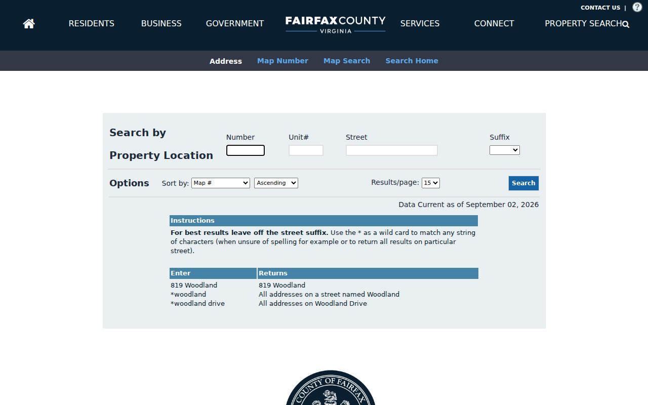
The form is a reminder to preserve small address details. A unit, suffix, or map number can determine whether the returned parcel is the intended Woodlawn property.
Map Woodlawn Street Segments
iCare’s map search adds an address-shaped way to work along a street. Entering a map number reaches a known tax reference. Parcel Select offers Freehand, Point, Box, Polygon, and Line modes. Line is useful for a short road segment, while Point is suited to one parcel at a time. A buffer can select parcels near a selected parcel by radius, unit, and either a center point or polygon. Each return still needs individual profile review before it is treated as a street result.
See the county’s iCare map-search help for the selection modes and result behavior. It supports a controlled street-by-street review instead of assuming that matching text represents the same road or parcel.
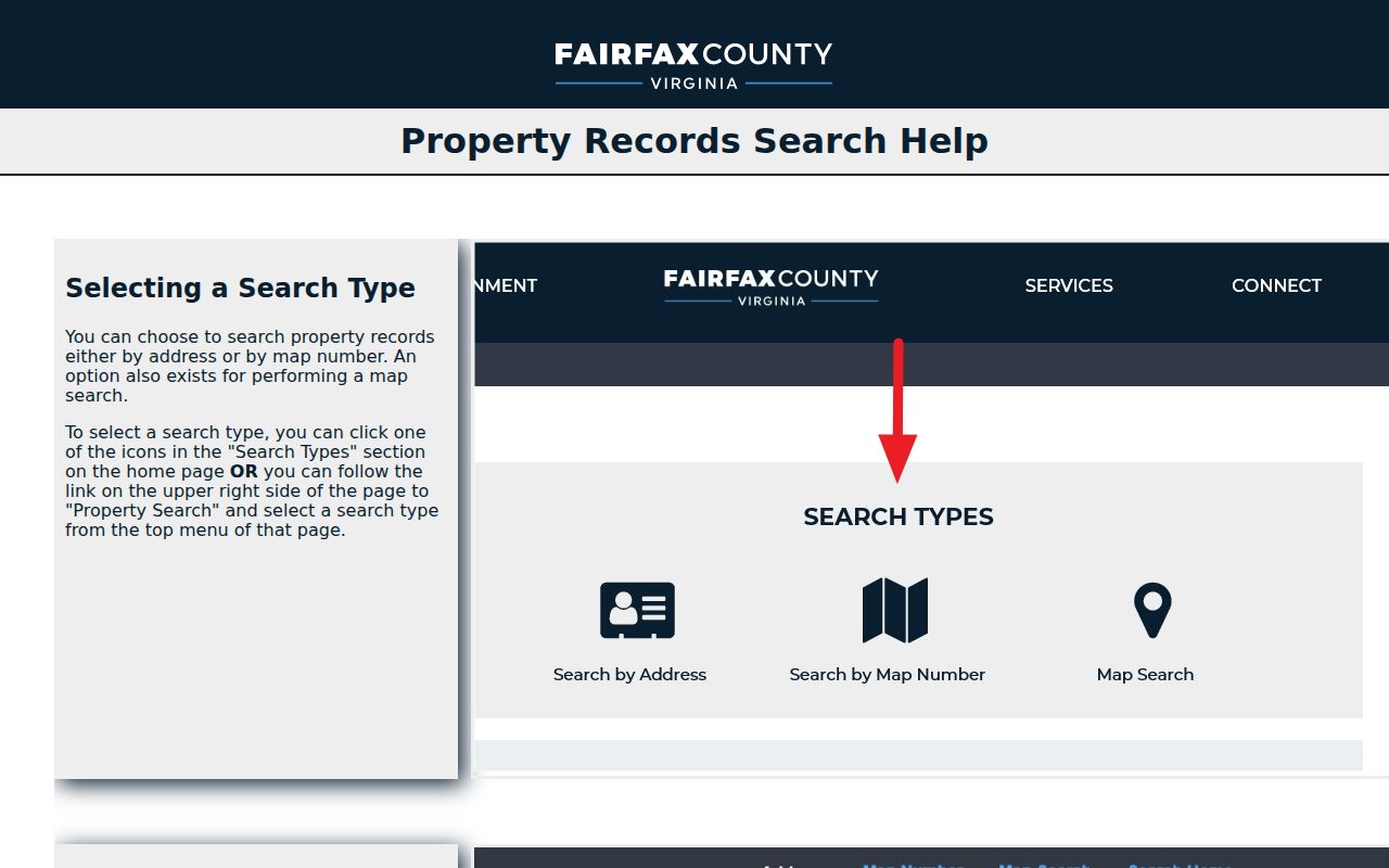
After a map selection, record the method used and inspect the resulting parcel profiles one by one. A buffer, a line, and a polygon answer different geographic questions.
Check Woodlawn Street Names in MAR
The Master Address Repository is Fairfax County’s authoritative source for site addresses and street names. Use it when an old road spelling, an Alexandria mailing label, or a permit-format address does not behave as expected in iCare. JADE adds parcel reports, more than 170 layers, current and historical aerial imagery, and save, share, and print tools. The Digital Map Viewer provides county property and zoning map books, but its parcel edges remain map representations rather than legal boundary proof.
Fairfax announced an improved, more mobile-friendly MAR application on July 31, 2026 with address, street, and parcel filters plus exports. That update is useful for Woodlawn because Route 1 or Richmond Highway, Mount Vernon Memorial Highway or Jeff Todd Way, and an Alexandria 22309 mailing format may lead to different searches. No official general Woodlawn renumbering year was found, so an invented conversion should never replace MAR, a tax map, and the legal description.
| Fairfax GIS control | Woodlawn street use | Research note |
|---|---|---|
| Address search | Focus an address or current street spelling | Autocomplete or text search; exact live labels were not exposed in the static review |
| Parcel filter | Focus a parcel record | MAR filter; the exact parcel-number format was not captured |
| Layer list or Map Contents | Turn on parcel, property, zoning, flood, school, voting, district, or imagery context | JADE has more than 170 layers and availability varies by application |
| Identify and Select and Zoom | Return details for a chosen parcel and adjust the map view | Map tools, not a household search |
| Buffer and Measure | Select nearby parcels or measure area, distance, or points in chosen units | Buffer accepts a radius and selection geometry |
| Print, Download, Save, or Share | Preserve a dated map image, PDF, or filtered export | Output options vary by tool |
Explore Fairfax County’s GIS applications for MAR, JADE, and the other mapping tools.
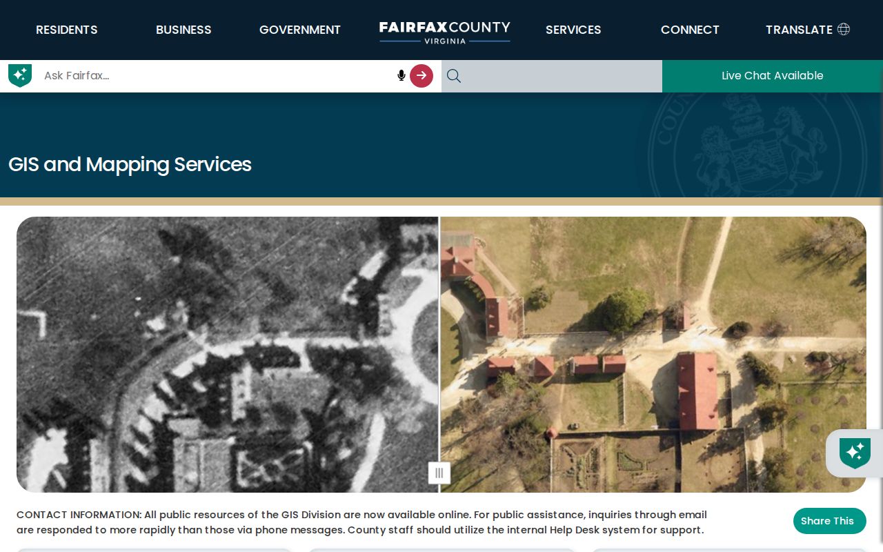
The GIS screen helps separate an address question from a boundary question. A recorded deed and a licensed surveyor remain the sources for a precise legal line.
Read Woodlawn Street Records by Address
The address records below describe different parts of the same Woodlawn location. The property card is parcel-centered. A deed is title-centered. A permit can document work or a project affiliation. A historic listing is tied to a period. Keeping the source label and date beside each result prevents a current tax detail from being read as a past address listing or a historic directory entry from being read as present occupancy.
| Address record | Woodlawn information it can support | County access route |
|---|---|---|
| Assessment parcel | Owner of record, mailing and situs addresses, tax map, sales, values, land use, and legal description | Free iCare; ownership and sales update twice weekly, with possible name withholding |
| GIS parcel and address | Parcel geometry, address authority, adjacent parcels, layers, aerials, and public facilities | Free MAR and JADE tools; boundaries are not survey proof |
| Recorded deed or plat | Grantor, grantee, date, legal description, easements, lot or subdivision references | CPAN subscription or courthouse terminal; Historic Records Center for older books |
| Permit or site record | Application, project, plan, inspection, and status material associated with an address | PLUS, SRV, or LDIH, subject to retention limits |
| Public voter list | Defined registration fields in a precinct list | General registrar inspection under Va. Code §24.2-444, with protected fields omitted |
| Reverse directory | A dated address or telephone listing when a volume covers the road | Virginia Room and other historical collections |
For the full historical shelf and its access routes, the Woodlawn City Directory page covers the regional directory collections without repeating the current parcel workflow.
Trace Woodlawn Street Deed Chains
After iCare supplies the current owner and tax map, title research moves to the Fairfax Circuit Court Clerk’s grantor-grantee tools. Search the current owner as grantee to find the acquisition, then search the seller as grantee for the earlier transfer. Deed type and date filters narrow a result. The useful anchors are the recording date, parties and roles, consideration when shown, book or instrument reference, legal description, easements or restrictions, and any “and being” reference to a prior deed.
CPAN provides online access through a subscriber path, while public courthouse terminals offer self-directed research. The county describes a $150 per-user activation and quarterly access charge for the remote CPAN route, so the terminal is an important alternative when a researcher needs only a few documents. The Historic Records Center is the counter route for books before 1945. Fairfax records reach to 1742, although some early books and loose papers were lost during the Civil War, so a failed deed search can reflect a missing book, index gap, or changed legal description rather than an absence of ownership.
Review the CPAN access information before choosing the online or courthouse route.
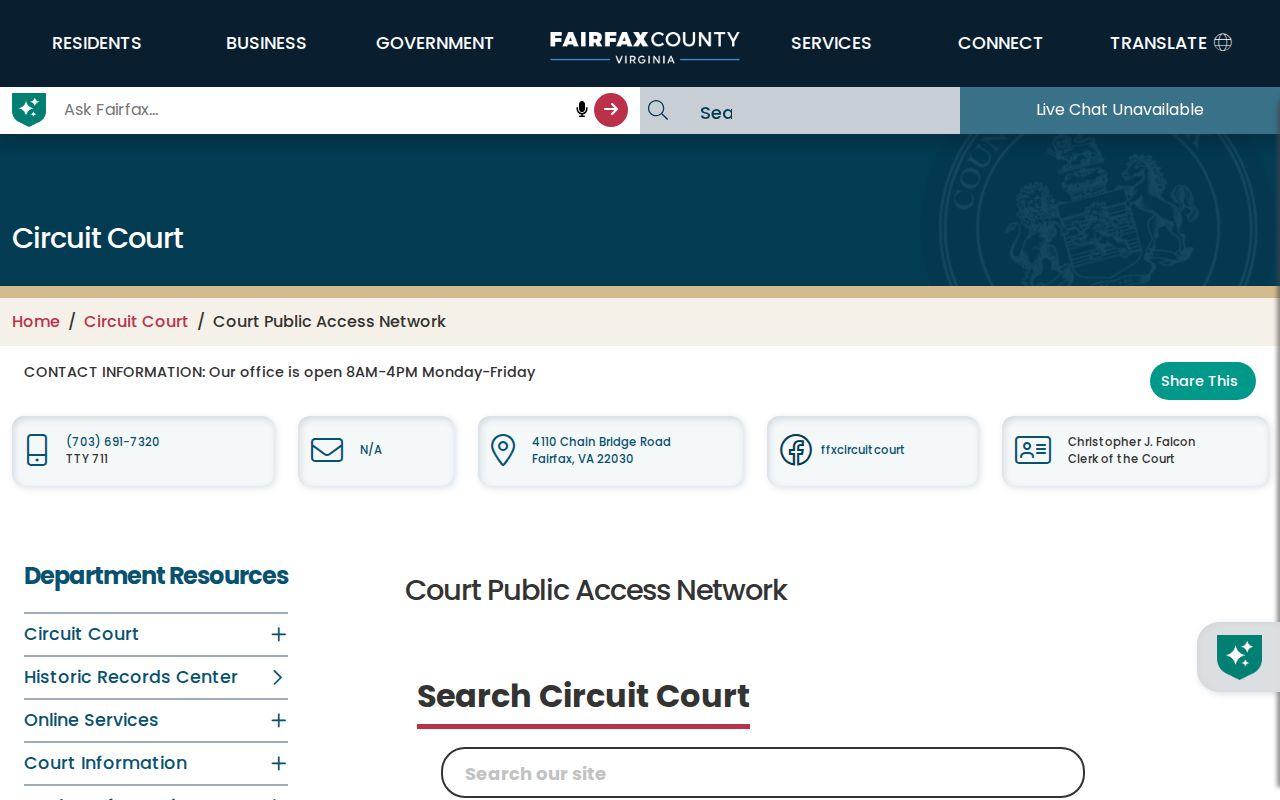
The subscription screen should not be mistaken for the only access channel. The courthouse terminal and Historic Records Center preserve a public research path when remote images or older books are unavailable.
Use Woodlawn Street Permit History
Land Development Services records can add context to an address when the goal is to date a house, addition, site plan, grading effort, or certificate of occupancy. PLUS is the current county platform and began on October 31, 2022. Older uploaded material may appear in LDIH, which is updated nightly, while SRV supplies approved site-record PDFs and maps. Development Tracker is another address route for active construction and land-use activity.
These records have their own limits. Supporting plans can be destroyed three years after final inspection, site-related correspondence after five years, and other material under its retention schedule. A code complaint can be address keyed, but the complainant’s identity is generally exempt from disclosure for zoning, building, and fire complaints. A project applicant or contractor field is not evidence of a private address connection. Where a needed record is not online, the county’s LDS public-records guidance points researchers to the available systems and a custodian-specific records request can be considered for non-exempt material.
Know Woodlawn Street Record Terms
Several labels recur in a Woodlawn street directory search. Reading them precisely makes it easier to connect a map result to a title record without assigning more meaning than the record carries.
- Parcel
- A tax and mapping unit used to organize property data. It is not a list of everyone connected to the address.
- Situs address
- The physical property location. It may differ from the mailing address used for tax correspondence.
- Plat
- A recorded map that can show lot, block, easement, or subdivision layout. It should be read with the underlying deed.
- Criss-cross directory
- A reverse-style directory organized by address, useful for a dated listing when the volume covers that street.
Bridge Woodlawn Street Records Through Time
Woodlawn’s present road network sits over a much older landscape. For an address that drops out of a reverse directory, search the owner surname, nearby roads, Route 1 or Richmond Highway, Mount Vernon Memorial Highway, and the legal-description or tax-map terms. The Virginia Room, Historic Records Center, Library of Virginia, and Library of Congress provide map, tax-book, deed, and directory paths that can turn an older estate or road reference into a modern parcel lead.
Historic owner maps need care. They can place an owner or structure in a landscape, but a shown owner may have held more than one parcel and the building may not be today’s structure. The 1860 Fairfax property-owner maps are especially helpful before the modern Woodlawn street grid. Retain the map edition, road or landmark, and parcel connection with every comparison. The historic overlay’s Dogue Run Farm, Lewis, Quaker and Mason, Country House, and public-ownership eras offer useful source periods, but they do not substitute for a deed, tax-book, or directory citation. A citation that includes the repository, series, book or reel, page, and access date can be checked when a later map or record changes the interpretation.
Woodlawn address quirk. An Alexandria mailing address, Fairfax County jurisdiction, Mount Vernon District, historic overlay, and Fort Belvoir legal description can all appear in one research trail.
Respect Woodlawn Street Directory Limits
A street directory can identify address-linked public records, but it cannot establish every person at a dwelling. Tax rolls do not enumerate current occupants or household members. Deed chains record transfers, not informal moves. The voter status portal requires a voter’s own or authorized use, and public lists omit protected fields. Closed information includes DMV addresses, utility and delivery customer records, protected voter and Address Confidentiality Program details, sealed files, adoption records, and exempt complaint identities.
Lawful use. Use Woodlawn address records for personal research, family history, property context, or civic curiosity. Do not use them to watch, harass, intimidate, or harm another person.